Conserving native plants and habitats
Our commitment
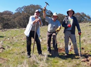
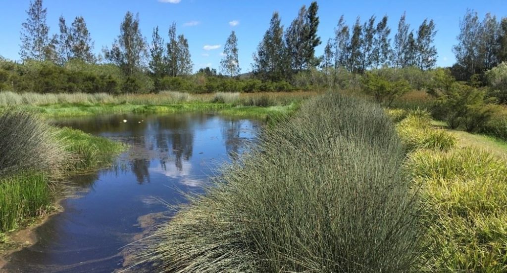
We are passionate about conserving Australian native plants and their habitats. Our local groups actively regenerate and conserve areas around them. A team of people across APS NSW lead our conservation and biodiversity efforts. For more information or to assist, please contact office@austplants.com.au.
Recent submissions
2023 –
APS NSW Submission to Kosciuszko NP-11Sep2023
2022 –
Submission to Australian Heritage Council_APSNSW_16Nov2022
Letter to Premier – Raising Warragamba Dam_8Nov2022
Letter to Minister Plibersek – Raising Warragamba Dam_8Nov2022
Submission_Sylvanvale_147 Garnet Road, Kareela_APS_16Oct2022
Submission_InlandRail_APSNSW_23Sep2022
APS NSW_Letter to Minister _Helensburgh Colliery_19Sep2022
(Reply from NSW Minister for Environment and Heritage_2Nov2022)
Gardens of Stone Masterplan submission – 4 July 2022
GoS Draft plan of management (NPWS) – 4 July 2022
2021 –
Submission Singleton Council on Redbank – 5 Dec 2021
2020 –
State Inquiry into NSW Bushfires DC – 22 May 2020 (1)
Royal Commission into National Natural Disaster Arrangement DC – 27 Apr 2020-1
See below the Conservation Position Statements released by our central body, the Australian Native Plants Society Australia, on Mountain Bike Trails and Renewable Energy:
ANPSA Position Statement on Mountain Bike Trails Rev
ANPSA Position Statement on Renewable Energy and Native Vegetation Rev 2
Stories
Native plant distributions – climate change, bush fires and native plants
The summer of 2019 and 2020 was the worst summer in living memory. Drought and horror bushfires, storms and floods have led to many dead, homes destroyed, countless animals killed, and millions of hectares and their plants incinerated. Soil has been burnt to a considerable depth and in some areas the seed bank may have been destroyed.
We have developed a series of spreadsheets that document the distribution of native plants in eastern Australia, prior to the fires. The data has been assembled over many years from reputable and publicly available sources. Work continues in regions not yet covered. We hope it will provide a reference point for recovery, now or in the future and can be used to monitor, measure and learn.
For more information, contact Tony Maxwell, plantlists@austplants.com.au
- Alpine
- Central Coast
- Central Tablelands
- Central West
- Coffs Coast
- Eurobodalla
- Far South Coast
- Hunter North, Hunter South
- Illawarra Shoalhaven
- North western slopes
- Northern Tablelands – South, Northern Tablelands – West
- South West slopes
- Southern Highlands
- Southern Tablelands north, Southern Tablelands south
- Sydney – Northern and Southern

