fbpx

Regenerating Mount Gibraltar, Southern Highlands

By Jane Lemann

At the APS gathering in November 2022, Jane Lemann shared her work as a Volunteer Bush Regenerator. This is a summary of her talk. 
(Note: some images are low quality due to the 30 year time frame of the regeneration project.)

The Reserve is part of the Gundungurra lands and we acknowledge indigenous custodians past, present and future.

This public Reserve belongs to all our community and is managed through the Wingecarribee Shire Council. Mount Gibraltar is 863 m high situated between Bowral and Mittagong.

Fig 1 View of Mount Gibraltar from Bowral

It is composed of Microsyenite and is a volcanic intrusion, probably once two kilometres higher than it is now having been exposed by 150 million years of erosion. The Microsyenite was formed by cooling in such a way that the particles are very small and very dense.

It didn’t take Europeans long to find it was ideal for building stone as it is very strong and polishes well. It is the only accessible known source of this rock known. It was quarried for 100 years to make some of the great buildings of Sydney and elsewhere. It was sold as Bowral Trachyte as there was no royalty incurred.


Fig 2 Formation of Mount Gibraltar

There were about 10 quarries, so it was a big heavy industry causing massive disturbance to what is now the NSW State Threatened Community of Mount Gibraltar Forest or National Endangered Ecological Community of Upland Basalt Eucalypt Forest of the Sydney Basin Bio-region. This assemblage of plants, creatures, micro-organisms and genes for the future is rare because it exists on soil derived from the rare microsyenite.

Fig 3 Mount Gibraltar historic operating quarry

Very gradually the Reserve lands were acquired as the quarries closed, starting in 1919 as a Flora and Flora Reserve of 66 acres. Now the Reserve is 130 hectares of which about half is resumed crown land managed by the council and is almost an isolated island of native vegetation in an urban sea. 

Unfortunately, we have an ulcer of communication towers right in the middle on the summit and can only wait for technology to change. There is also a road through the middle where roadkills are causing us problems. The Reserve has recently suffered considerable drought and storm damage and parts of it are currently closed.

The mountain is a source of two of the rivers in the Sydney Drinking Water Catchment, the Wingecarribee and the Nattai Rivers that flow into the Wollondilly River then the Warragamba Dam’s Lake Burragorang. The impervious rock sheds water very quickly and can then get very hot and dry. There is a named Chinaman’s Creek which flows due north down the junction of the microsyenite and sandstone, diffuse western waterways flow into Gibbergunyah Creek and an unnamed ephemeral watercourse on the east has a few almost permanent pondages. We try to ensure clean water leaves the Reserve source.

In the late 1930’s a Depression Relief program developed the Reserve as a recreational area, building access roads, lookouts and shelter sheds to ‘appreciate the views of national importance’ and these are now heritage items.

The last quarry closed and was acquired in 1986 and the Reserve was subsequently neglected so the exotic weeds from the great gardens of Bowral moved into the disturbed areas.

Fig 4 Major weed ivy

It was not until 1995 that the Council was prepared to insure volunteers and let anyone try and look after the Reserve. The volunteer ‘Mount Gibraltar Landcare and Bushcare’ was formed and took on the care control and management of the Reserve. Assessments were done and plans were made and basically, in true bush regeneration principle, work started at the least infested place – the bare rock on the summit and worked down the contours in systematic mosaics until reaching the worst, wettest, thickest place at the bottom. It has taken us 30 years of weekly work to complete the primary weeding. 

We used the value of our volunteer hours as leverage for grants to get professional regenerators for the difficult parts and campaigned hard for a community Environment Levy on everyone’s rates to support professional, qualified maintenance in perpetuity.

Fig 5 Tackling the weeds - shrubs then tree climbing ivy
Fig 6 Tackling weeds - Ivy carpet frontier
Fig 7 Tackling weeds - extreme quarry face bush regeneration

The major weeds are: Blackberry, Pine, Sycamore, Ivy, Honeysuckle, Holly, Barbery, Privet, Pyracantha, Spindle Berry, and other berry bearing plants – Vinca, Agapanthus, Valerian, Cape Ivy and Turkey Rhubarb…

The regeneration is wonderful. We did some planting but very quickly found it was unnecessary as there was enough seed in the soil bank.

Fig 8 Reward - before and after

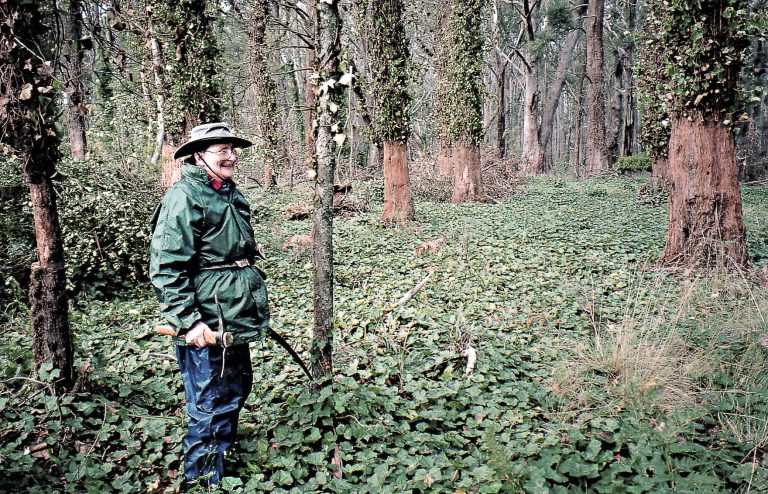
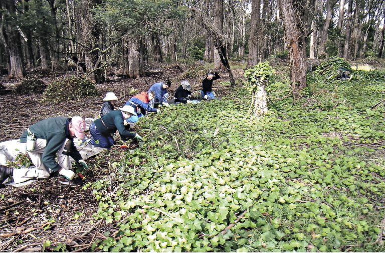
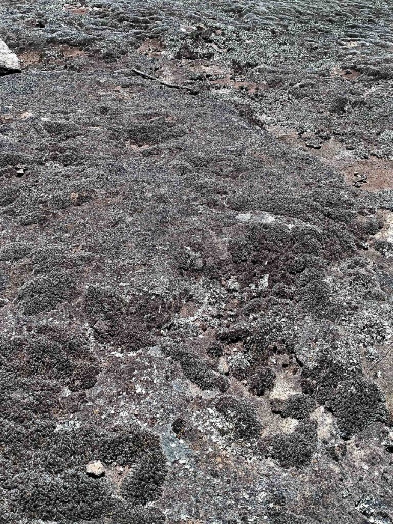
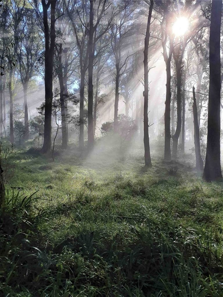
Being the highest point between Sydney and Canberra, the Reserve has several aspects – wet cold south, hot dry west, exposed fragile summit, a sheltered top section and a north facing slope of sandstone and a shoulder of shale.  This provides for very varied vegetation communities within quite a small area. 

Mittagong Sandstone community: Eucalyptus seiberi, E. obliqua, Allocasuarina litoralis, Banksia serrata, Elaeocarpus reticulatus and shrubs such as Acacia terminalis, A. ulicifolia, Banksia spinosa, Persoonia levis, Lomandra spp and more.

Southern Highland Shale Woodland EEC: Eucalyptus tereticornis, E. punctata, E. quadrangulate, Bursaria spinosa, Indigofera australis, Lomandra spp.and more.

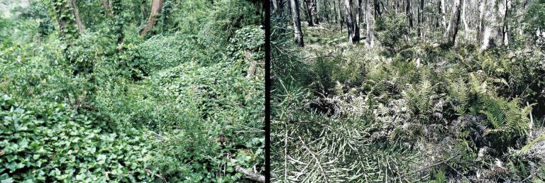
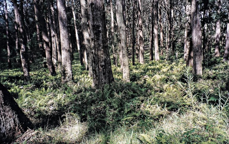
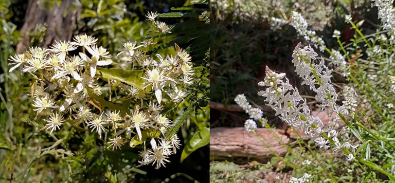
Mount Gibraltar Forest EEC: A diverse community including: Eucalyptus radiata, E. fastigata, E. viminalis, E. smithii E. elata, Acacia mearnsii, Notelaea venosa, Persoonia linearis, Senecio linearifolius, Stypandra glauca, Pomaderris lanigera, Dianella caerulea, Clematis glycinoides and an incredibly rich ground cover of ferns and forbs, lots of different ground orchids but the grey weather has not encouraged them. 

Fig 9 Mount Gibraltar Forest and ferns
Fig 10 Flowering in November - Clematis glycinoides and Stackhousia monogyna
Fig 10 Flowering in November - Indigofera australis and Helichrysum bracteatum
Fig 12 Flowering in November -Stypandra glauca and Senecio linearifolius

On the summit are wonderful lichens and mosses plus, in the deeper cracks, Melaleuca such as Melaleuca hypericifolia, Leptospermum brevipes, Isotoma axillaris, Senecio lautus and Chielanthus ferns, probably not visible at this time of year are the many fungi, and other vital parts of a ‘community’- the invertebrates seldom feature and we have a great assortment of ants, bees, butterflies, moths, beetles, stick insects etc. and soil dwellers.

Fig 13 Summit moss and lichen on exposed rock

These habitats are host to endangered Greater Gliders, koalas, 14 species of microbats, plus swamp wallabies, Eastern Grey Kangaroos, wombats, echidnas, lizards, Copperhead snakes; Powerful Owls, Lyrebirds plus a wide range of possums, gliders and birds, many of which use the old tree hollows. On the summit the rock pools may hold tadpoles of frogs such as Uperoleia laevigata – Smooth Toadlet – or if you are very lucky, possibly a Red Crowned Toadlet.

Fig 14 Mount Gibraltar Koala and Greater Glider sightings
Fig 15 Mount Gibraltar in Autumn, image S Cains

Further resources:

Available on Wingecarribee Shire Council Website: wsc.nsw.gov.au/mount-gibraltar-reserve
Mount Gibraltar Heritage Reserve, Information Booklet with map, our book in full: The Gib, Mount Gibraltar Southern Highlands 2007, (this includes fauna and flora lists and further quarry information)

Also available is ‘Sydney’s Hard Rock Story, The Cultural Heritage of Trachyte’, 2014 by R. Irving, R. Powell and N. Irving: Heritage Publishing, ronfpowell@hotmail.com