Native Plant Distributions – All regions are now complete!
By Tony Maxwell & APS NSW
Do You Know Where Our Native Plants Are?
The Australian Plant Society NSW is excited to announce the completion of the Native Plant Distributions project, a major undertaking designed to document and map the locations of native vascular plant species across Eastern NSW. This project, spearheaded by Tony Maxwell, represents the culmination of years of data collection from reputable sources, all brought together into an easily accessible format for APS NSW native plant enthusiasts.
A Treasure Trove of Data for Native Plant Lovers
For those with a passion for native flora. The Master Sheet, covers 5687 native plant species across 147 areas, representing 50% of Eastern NSW—an impressive 16 million hectares. The data includes records from areas both large and small, spanning diverse landscapes from coastal regions to the highlands and the western slopes.
Accessibility is key. Whether you’re a seasoned botanist or a weekend bushwalker, the Native Plant Distributions project offers an incredible resource. With 27 regional lists available, plus comprehensive maps from the Atlas of Living Australia, anyone can explore the plant diversity of their local region.
Why Is This Important Now?
The project comes at a critical time. The devastating 2019-2020 bushfires burned through vast areas of native vegetation, potentially destroying seed banks and altering ecosystems for generations to come. The data gathered here provides a “line in the sand” before those catastrophic fires—a reference point that can be used to track recovery and understand the ongoing impacts of climate change and human activity on native flora.
Tony Maxwell, project manager
Whether you’re involved in bushfire recovery, or conservation, or simply want to know more about your local plant species, this dataset is invaluable. It’s a comprehensive tool for anyone interested in the future of our native plants, serving as both a benchmark and a guide for future conservation efforts.
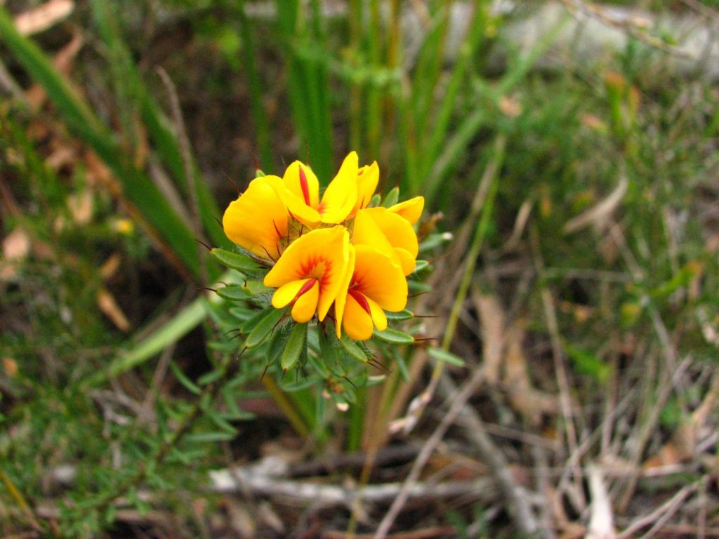
Pultenaea aristata, image Dan Clarke
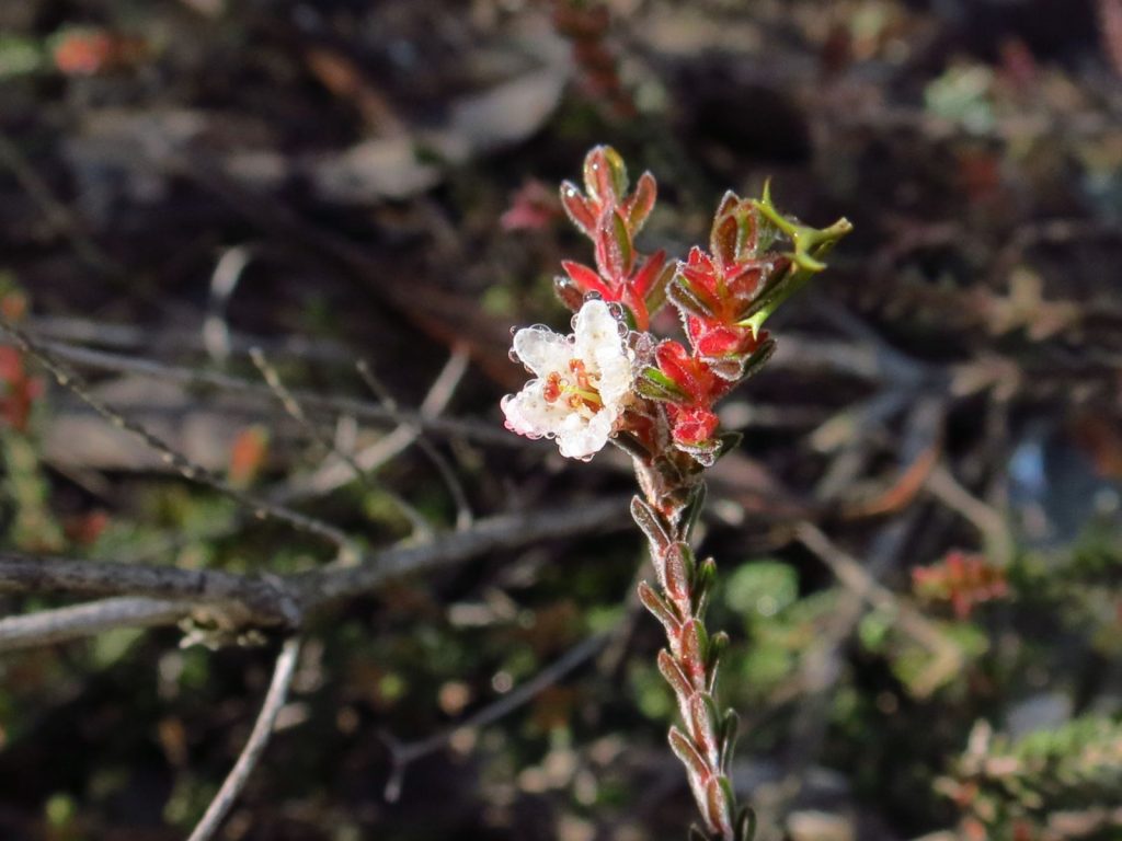
Tetratheca ericifolia, image Alan Fairley
Micromyrtus blakelyi, image Dan Clarke
How to Access the Data
There are two ways to explore the Native Plant Distributions data:
The Master Sheet & Mudmaps
The Master Sheet contains occurrence counts for all species across 147 areas. From here, you can create your own “Mudmaps” for single species or groups. With these maps, you can visualize plant distributions and explore your area of interest.
Regional Lists & Atlas of Living Australia Area Maps
Each of the 27 regions has its own plant species list, covering everything from the Alpine regions to Byron Bay. Accompanying these lists are Atlas of Living Australia maps, offering a clear view of where these plants can be found.
A Call to Action
In Tony Maxwell’s words, “Eastern NSW is the playground.” We encourage APS members and native plant enthusiasts to dive into this wealth of information. Whether you’re interested in bushwalking, flora conservation, or simply have a love for native plants, this project offers some very useful insights.
Check the APS NSW website to explore the data. This project is not just a look into the past; it’s a tool to measure changes in the future. As we face new challenges—climate change, bushfire recovery, and habitat loss—understanding where our native plants are is more important than ever.
Let’s work together to conserve our unique botanical heritage.