It was the wettest year in Alice Springs since 1974. In late August 2026 the Todd River flowed again and an unexpected rainy day delayed our camping expedition into the West MacDonnell Ranges. We viewed the 231 kilometre long Larapinta Walking Trail longingly, however common sense prevailed. A Toyota Camry took us up the Namatjira Drive, camping at the Ellery Creek Bighole and Ormiston Gorge as well as visiting other significant water holes in the Ranges. The spectacle of water in the desert is limited to narrow canyons where their depths have been gouged by sudden torrents of water channelled through their narrow passages. Beyond this sudden gush an alluvial fan quickly dissipates the flow into the desert sands. Many creeks are named but they are desert wadis. In the past water holes were used as camps by First Nations people, then they were watering points for cattle and now they are tourist destinations and swimming holes.
Simpsons Gap
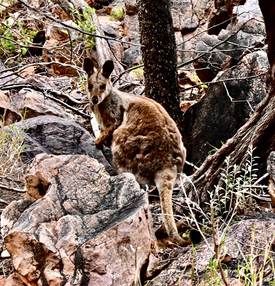
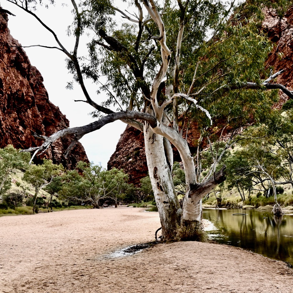
It was sunny at Simpsons Gap which cuts through a 150 metre high break in Rungutjirba Ridge’s vertical quartzite strata that forms the backbone of the Heavitree Range, one of the MacDonnell Ranges. Black-footed rock wallabies hopped from rock to rock as soon as we approached. Majestic old River Red Gums (Eucalyptus camaldulensis) grew in the sands of Roe Creek that contained water for some hundred metres. Multi-stemmed deep-rooted River Red Gums growing up to 20 metres thrive on the underground water. Their seeds have the capacity to float downstream and their long waxy leaves droop like those of willows to cope with hot dry conditions.
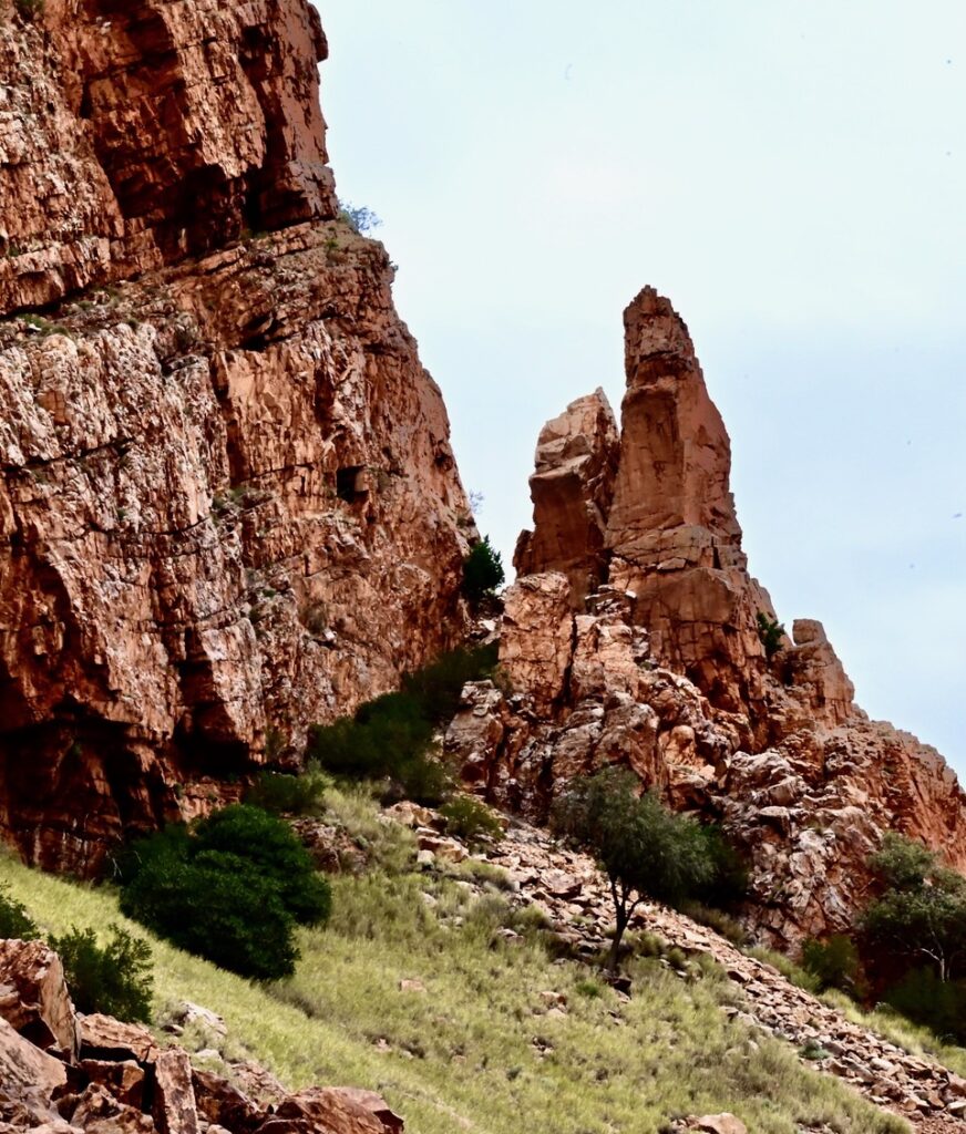
Simpsons Gap quartzite strata. Photo Harry Loots
Black-footed rock wallaby, Simpsons Gap. Photo Harry Loots
Roe Creek River Red Gums, Simpsons Gap. Photo Harry Loots
Standley Chasm
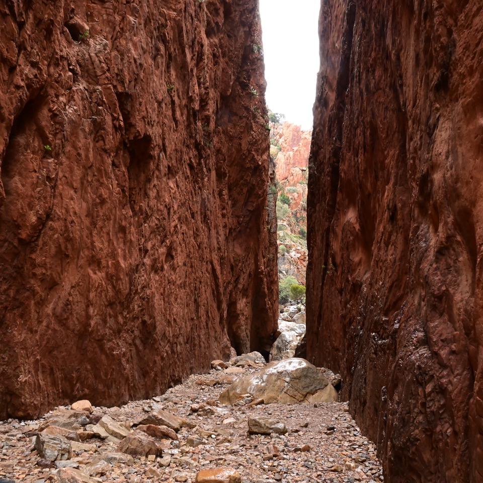
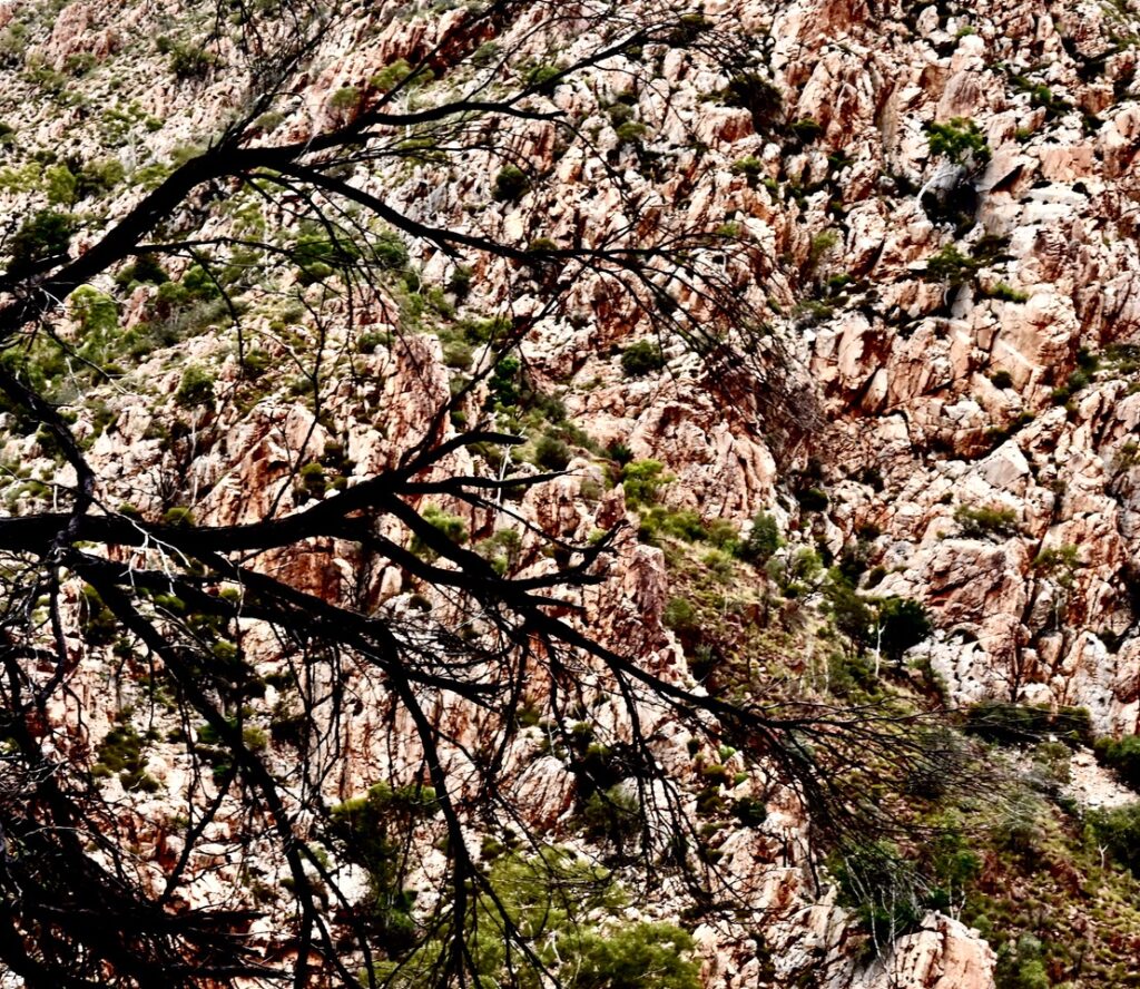
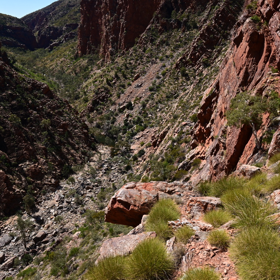
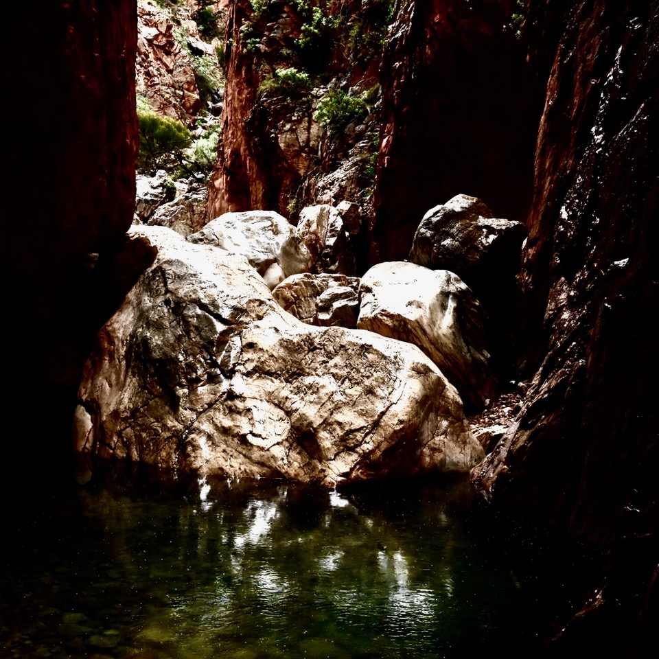
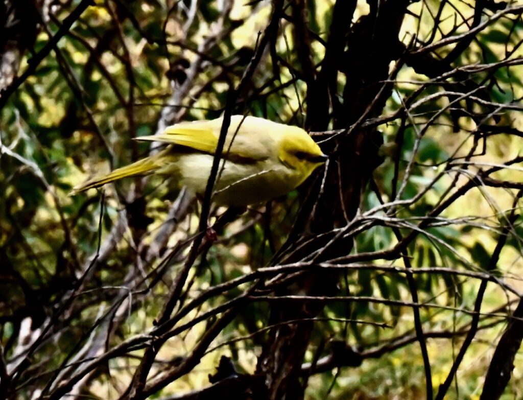
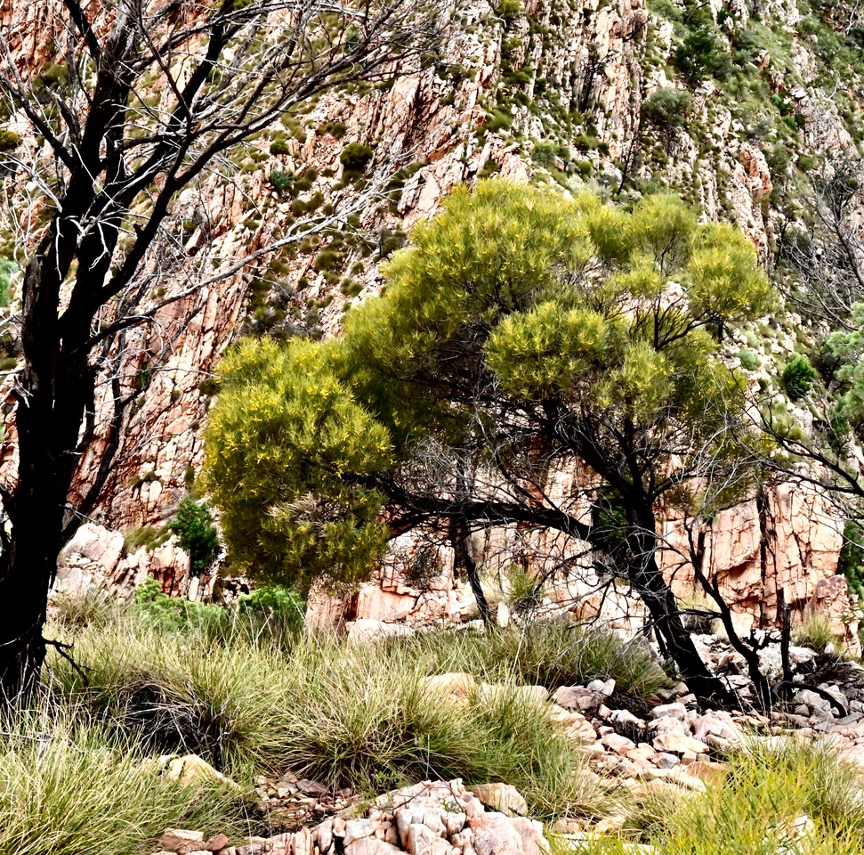
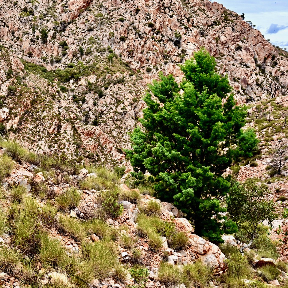
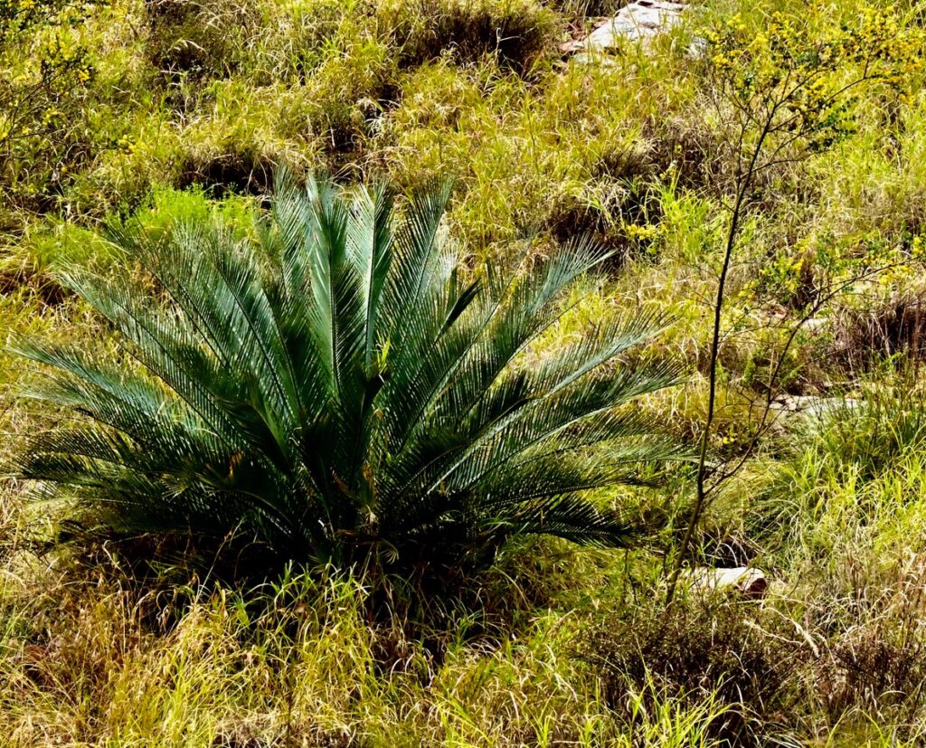
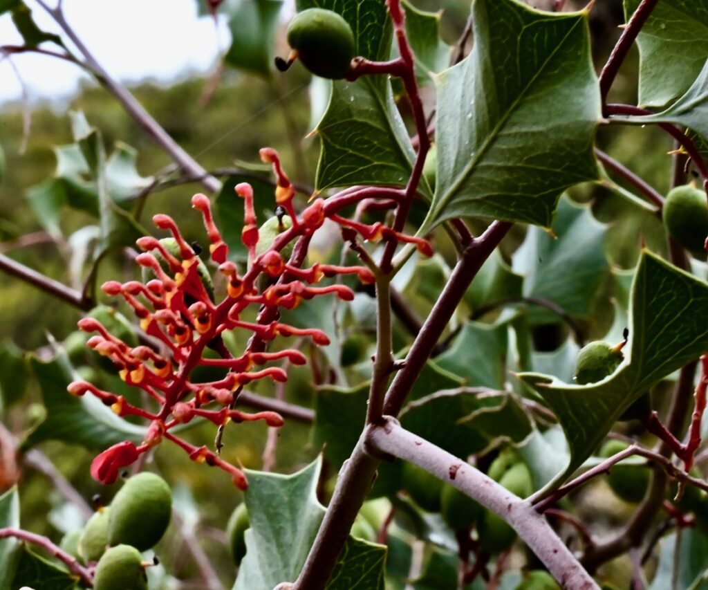
Travelling further west we sat in the Standley Chasm café for over an hour waiting for the rain to cease before paying to enter the Iwupataka community’s private land. Awe-inspiring eighty metre high perpendicular red quartzite walls line a three metre wide cleft in the Chewings Range. Quartzite boulders at the chasm’s base glistened instead of a large pool of standing water. Their round shapes were incongruous next to the chasm’s smooth red walls. River Red Gums and different Acacias grow in the creek gravels up from the café. On Angkale Creek’s banks Desert Bloodwood (Corymbia terminalis) and Macrozamia macdonnellii grow while White-plumed honeyeaters sang from the branches. Steep steps take the track to the lookout above Standley Chasm where light reflected on highly fractured bare metamorphic rocks in the gorges and on the ridges to the north of the lookout created the appearance of a textured landscape of brown and white impasto. On the rocky slopes widely spaced White Cypress Pine (Callitris glaucophylla), Ghost Gums (Blakella aparrerinja), Holly grevilleas (Grevillea wickhamii), Mulga Wattle (Acacia aneura) and Grey Mallee (Eucalyptus socialis) cling to the mountain side.
Standley Chasm. Photo Harry Loots
Quartzite boulders, Standley Chasm. Photo Harry Loots
View from the lookout above Standley Chasm. Photo Harry Loots
The Gum Trees of the Ranges
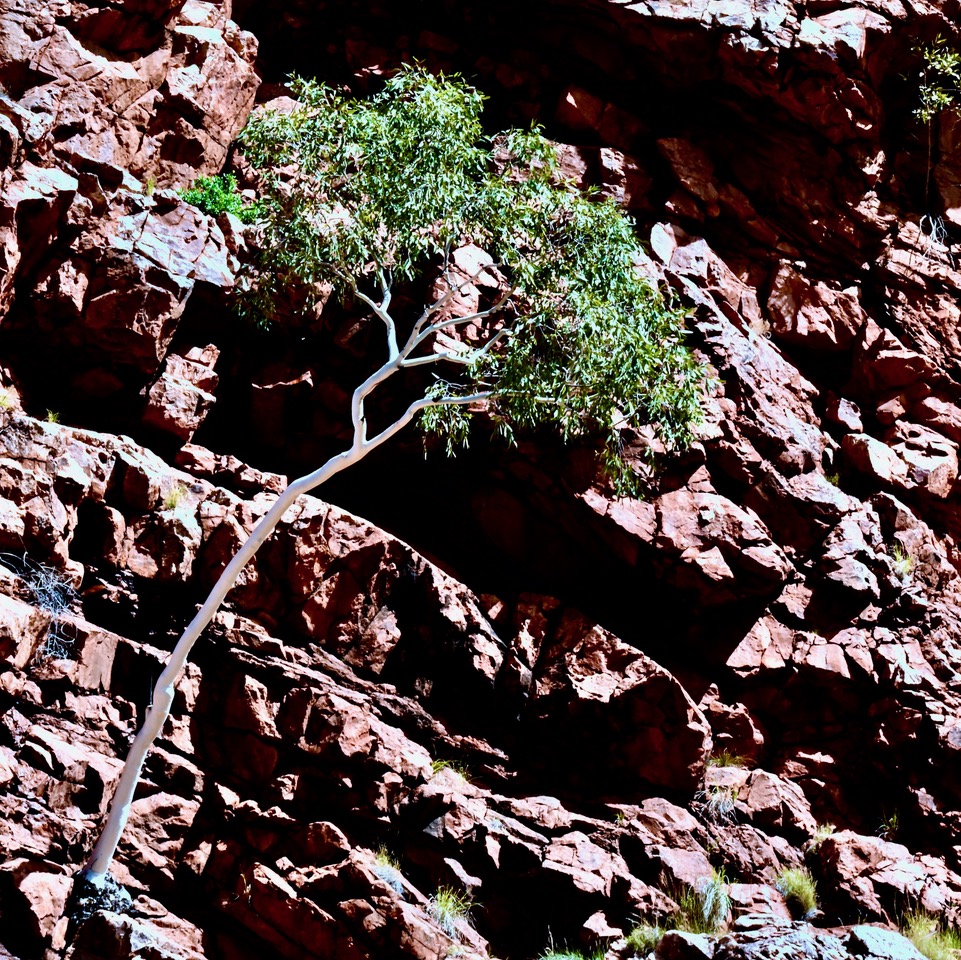
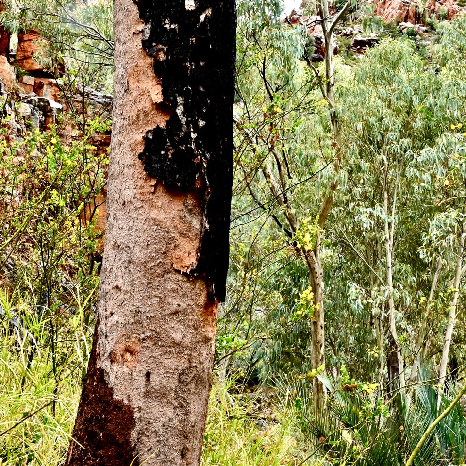
Spindly-stemmed Ghost Gums, their roots finding deep nutrient-rich fissures in the rock, grow in exposed locations on the ridge. They are the most impressive trees in the Ranges. Unlike the rest of Australia which has over 800 Gum (Eucalypteae) species there are only 17 different species of Gum Trees in the MacDonnell Ranges. As Ghost Gums have striking white, powdery bark and small delicate seed pods they were removed from the Bloodwoods genus Corymbia and are now in the new genus Blakella. The white bark of Ghost Gums and River Red Gums is thought to reflect the heat of the day. The greatest species diversity is to be found among other plant genera. In the MacDonnell Ranges there are over 110 species of Acacia and 44 species of Eremophila as well as over 320 grass species, 184 daisy species and 174 pea species. The annual daisy and grass species wait for the rains, the daisies waiting to produce brilliant flower displays. There are no Rutaceae (citrus family), orchids or Banksia species. Of the Proteaceae family only the Hakeas and Grevilleas were successful in adapting from their subtropical rainforest environment to an arid interior. This environmental change commenced in the late Cretaceous (66 mya) with the drying out of Gondwana.
Ellery Creek Bighole
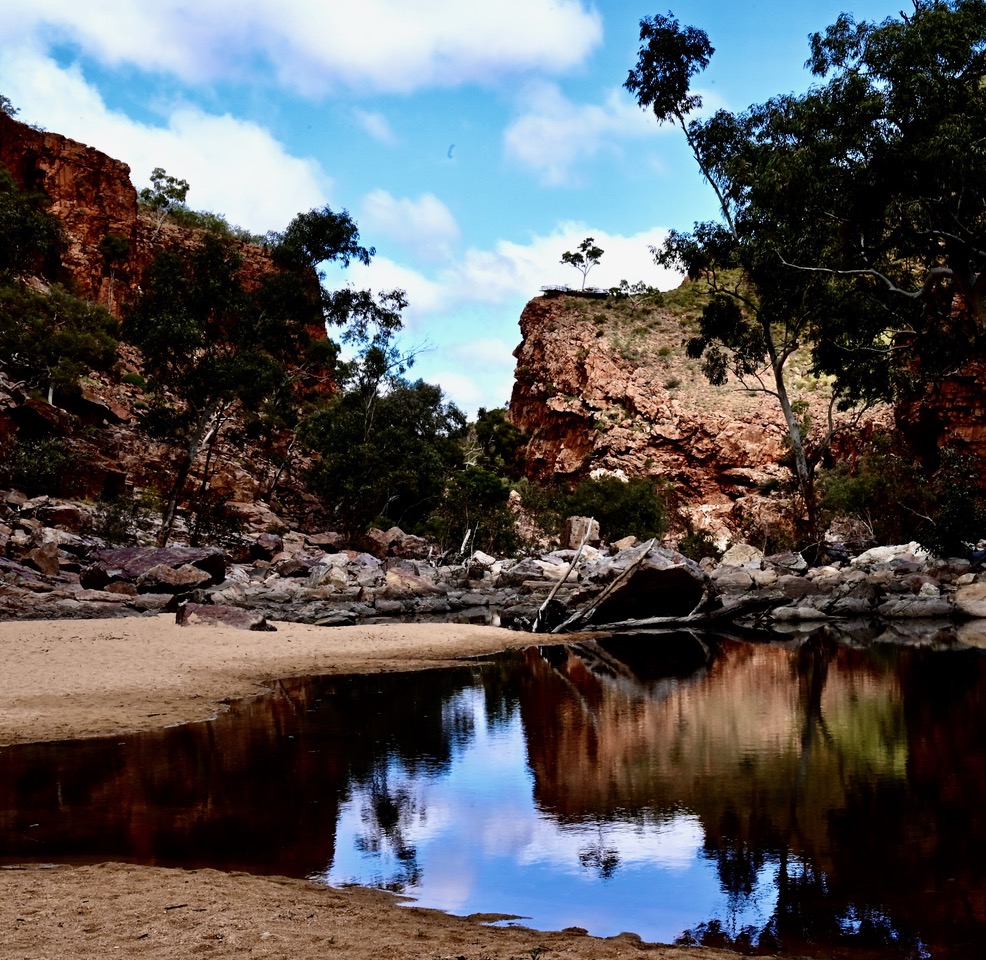
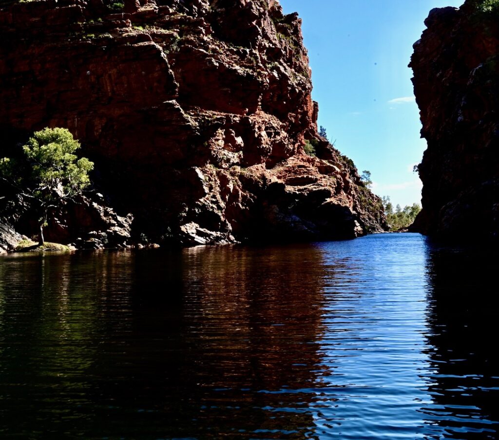
A relatively short drive led to a comfortable dry tent site adjacent to three low benches under an iron roof at Ellery Creek Bighole. The night sky was clear, the moon eventually illuminating the area and stars appeared. The morning hosted a cheery blue sky before grey clouds darkened the eastern sky. Thunder and a flash of lightning accompanied a heavy downpour, forcing us to take shelter. It would have been better to take down the tent before the rain. Within thirty minutes the storm had passed and Lindy was walking down to the Ellery Creek Bighole for a swim. Swimmers in the waterhole did not stay in for long. It was freezing although it was enjoyable sun bathing on the beach.
Ghost Gum Blakella aparrerinja, Ormiston Gorge. Photo Harry Loots
Ellery Creek Bighole. Photo Harry Loots
A Landscape of Deep Time
Ellery Creek Bighole, Serpentine Gorge and Ormiston Gorge are breaches in the Heavitree Range which runs parallel ten kilometres south of the Chewings Range and the Rungutjirba Ridge. The ranges are the erosion-resistant quartzites of the anticline produced during the Alice Springs Orogeny mountain-building event (beginning approx. 450 mya, concluding 300 mya). While the quartzites form the impressive ridges other types of rock such as gneisses, granite, limestone, sandstone and mudstone are also present. Some valleys in this range contain fossilised evidence of an inland sea that once covered what is now central Australia.
Folded strata above Ormiston Gorge lookout. Photo Harry Loots
Serpentine Creek above Serpentine Gorge. Photo Harry Loots
An Environment of Extremes
Although negotiable, the unsealed road into Serpentine Gorge was a wet muddy brown slime after the recent rains. As with all the gorge locations there was a well-stepped track to a lookout where we could see the creek below a precipice of jagged red quartzite cliffs. Besides impressive landscapes these climbs also provide opportunities for appreciating the tenacious vegetation that can survive and thrive in extreme drought, radiation, heat and wind, although at this time our main concern was the rain. This is an environment of extremes. In summer the temperatures reach 40°C. On a clear winter’s night the temperature can drop down to -5°C. Droughts are the norm. It might not rain for months with hot dry winds. Very occasionally it can rain for a week but except for the waterholes the water runs straight into the ground. Plants must be highly adaptive or suited to one of the many niche environments. The great variety of conditions of this isolated location has allowed 1,300 endemic species to develop in the MacDonnell Ranges. Surrounded by a vast desert the Ranges are a refugia for a mostly endemic group of plants that have only distant relatives in the rest of Australia. The surrounding Simpson Desert is limited to 100 endemic species. This indicates that the MacDonnell Ranges have been refugia, an island of fertility for a very long time while the Simpson Desert is relatively young.
Ormiston Gorge
Ormiston Gorge had a large camp site for long caravans but no facilities for two-man tents unless we wanted to walk along the Larapinta Trail to set up with the Trail walkers. We camped illegally on a caravan site as we had done at Ellery Creek Bighole. Our attempts at booking had failed. The National Parks system seems organised for caravans whose owners book sites while they have a good internet connection in the towns or have a satellite connection thanks to Elon Musk. This is all anathema to someone who doesn’t own a mobile phone. Camp grounds are dominated by massive rigs, more like mobile homes on wheels rather than light tents.
There was more rain but this time I had left the tent open to air while distracted elsewhere. We were cooking in the camp kitchen as night fell. Long conversations with another couple who were also cooking and with two French backpackers whom we had befriended entertained us when it started raining heavily. It was only after some time that I remembered the open tent. Lindy was rightly annoyed, however we still managed to get a dry sleep although slightly damp. Hearing rain on the fly through the night proved to be a soporific.
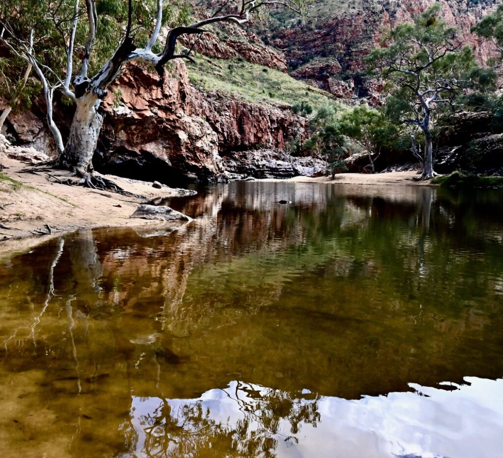
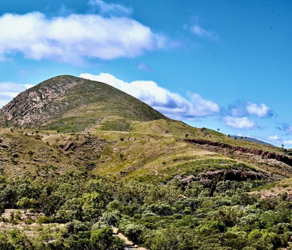
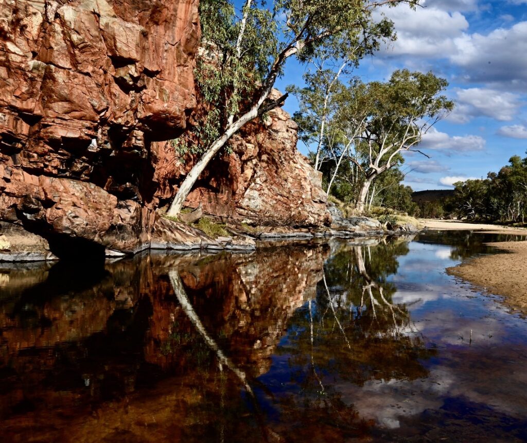
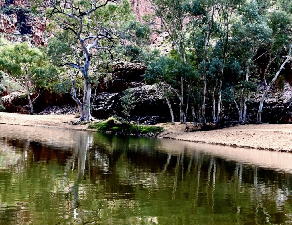
The weather had cleared when I awoke soon after six. After breakfast and packing up the tent we were off at 10 o’clock to look at the Ormiston Gorge sites. It was an easy climb up the ridge to the lookout above Ormiston Gorge. We had decided to complete the Ghost Gum Walk circuit which offered scenic views of the Gorge as well as a great selection of plants that we had seen on previous MacDonnell Ranges ridge walks. The Gorge waters and dramatic cliff top surrounds were as impressive as the other West MacDonnell Ranges’ water holes. Ormiston Creek had some deep sections for over half a kilometre either side of a large boulder field across the creek, which forced us to rock hop for a distance. The deep water hole was another opportunity for Lindy to have a swim together with many others dressed in their underwear. It was a strange sight to see swimmers standing about in wet underwear on a long creek beach. A coffee at the Ormiston Gorge café after the walk was a just reward.
Ormiston Gorge behind the boulder field. Photo Harry Loots
Ormiston Creek downstream from the Gorge. Photo Harry Loots
River Red Gums, Ormiston Gorge beach. Photo Harry Loots
The Finke River and the Ochre Pits
Ormiston Creek eventually becomes the Finke River when it flows through a break in Chalet Ridge at Glen Helen. The Finke River, usually a series of waterholes whose flow dissipates into the Simpson Desert, has the oldest river bed in the world. The Finke has consistently worn down an ancient mountain chain that rose 300 to 350 million years ago.
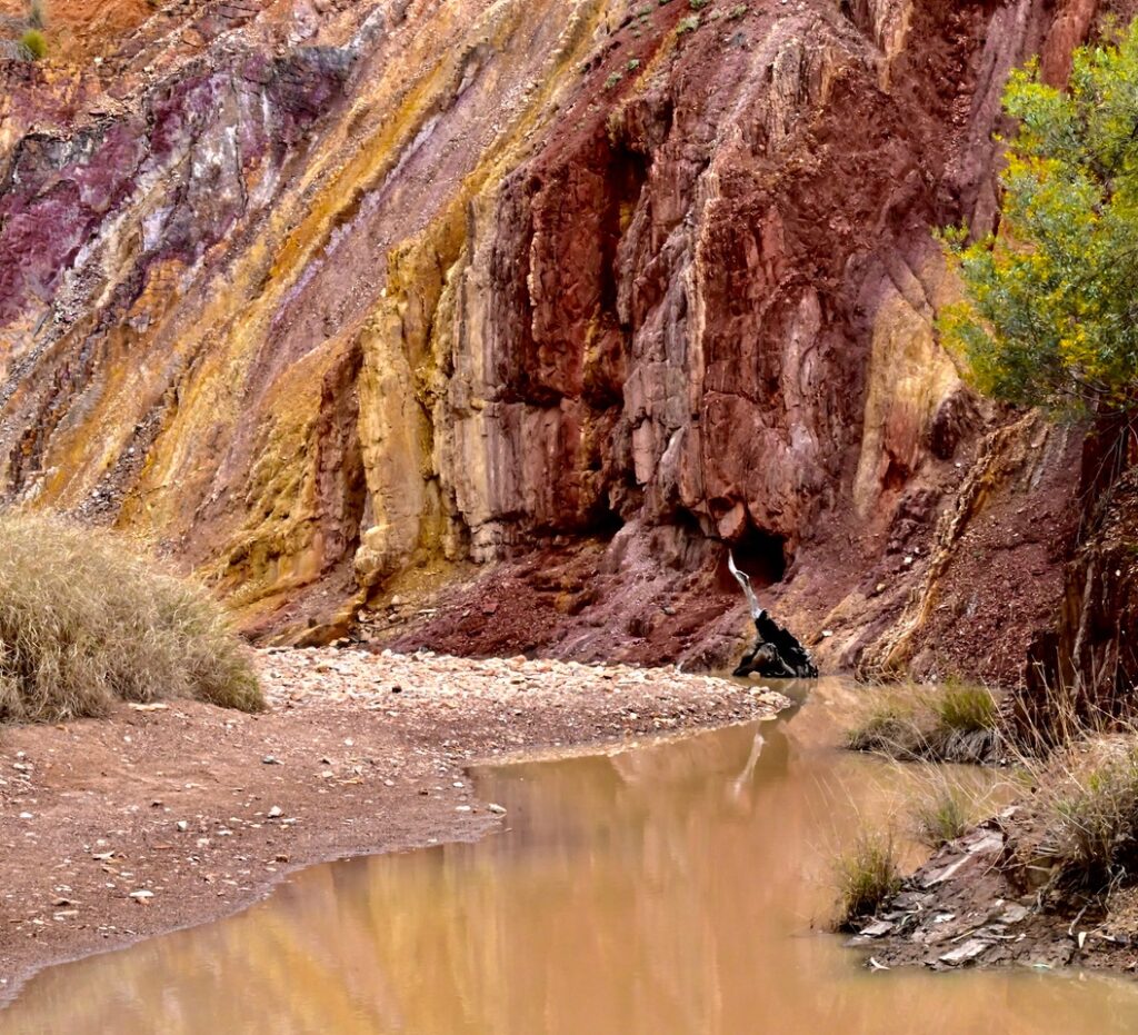
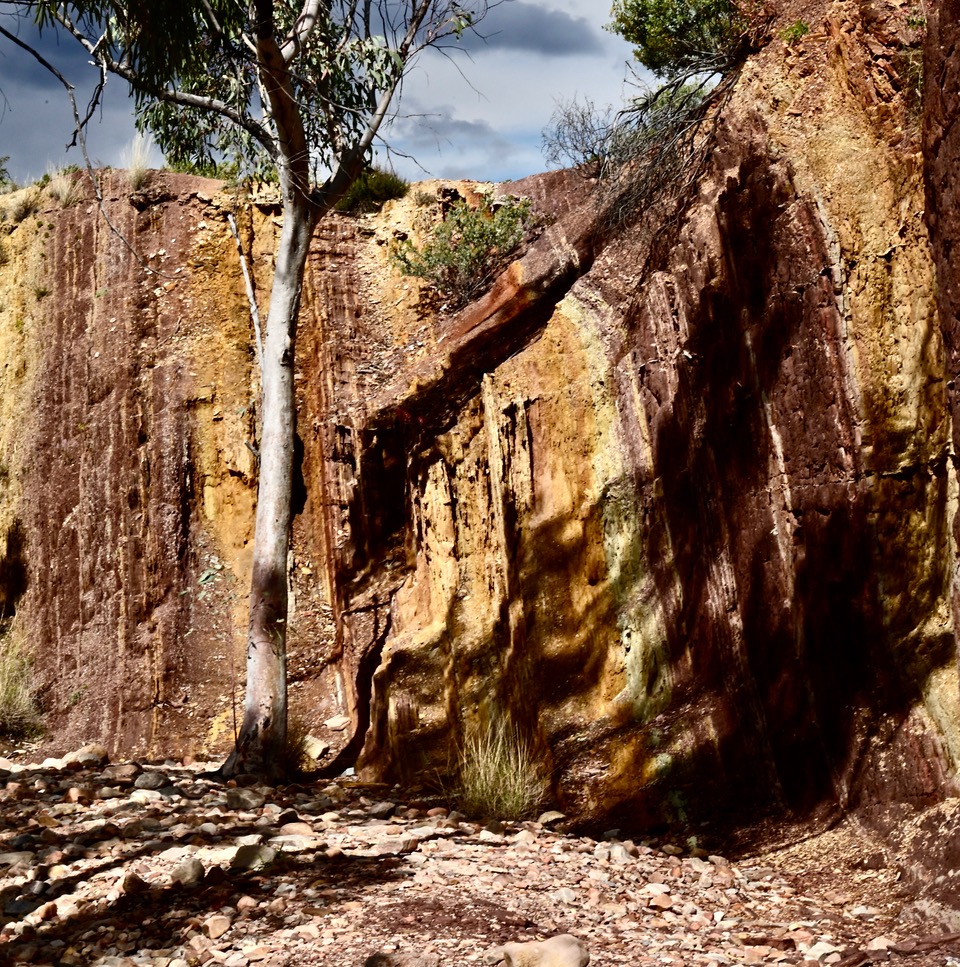
When returning to Alice Springs we stopped at the Ochre Pits where First Nations people had over the millennia dug clays for decorating themselves during cultural ceremonies. The white and red clays, containing mica, had been exposed by the creek’s deep gouging into a bend. The clays are the sediments washed down from the ancient 8,000 metre high MacDonnell Mountains that are no more. They are relatively recent sediments compared to the MacDonnell Range. As with all the elements of the Range there are some very long time lines.
Ochre Pits. Photo Harry Loots
Ochre Pits. Photo Harry Loots
Plants and wildlife of the Ranges
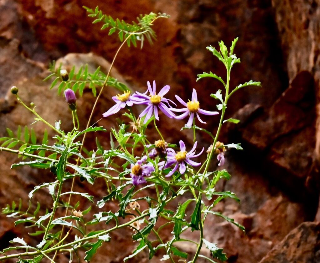
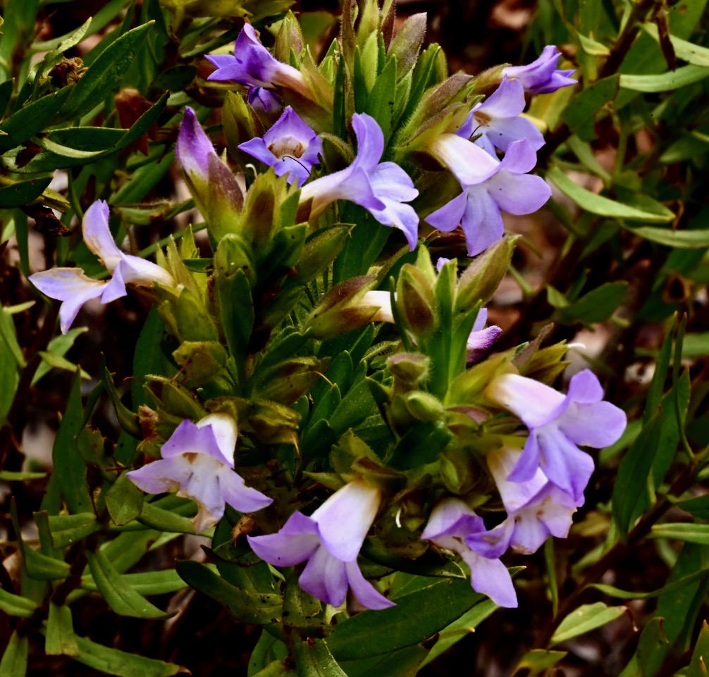
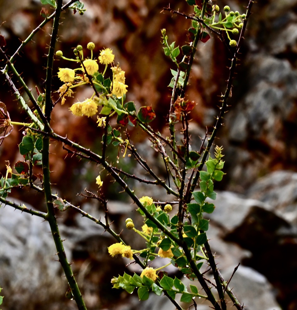
A selection of the plants and birds seen along the way. These sit well as a gallery.
Brachyscome ciliaris. Photo Harry Loots
White-plumed honeyeater. Photo Harry Loots
Eremophila christophori. Photo Harry Loots
Corymbia terminalis, Standley Chasm. Photo Harry Loots
Acacia aneura, Standley Chasm. Photo Harry Loots
White Cypress Pine Callitris glaucophylla. Photo Harry Loots
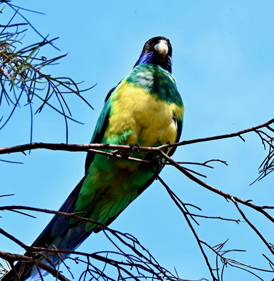
Australian Ringneck. Photo Harry Loots
Macrozamia macdonnellii. Photo Harry Loots
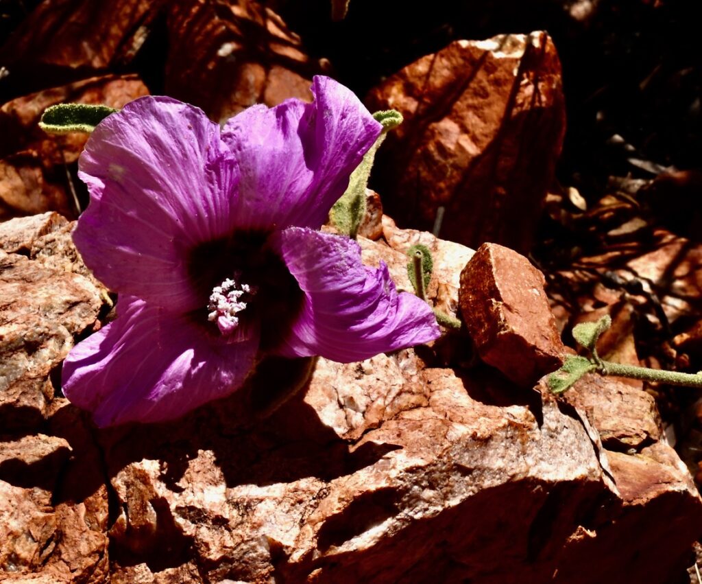
Sturts Desert Rose (Gossypium sturtianum). Photo Harry Loots
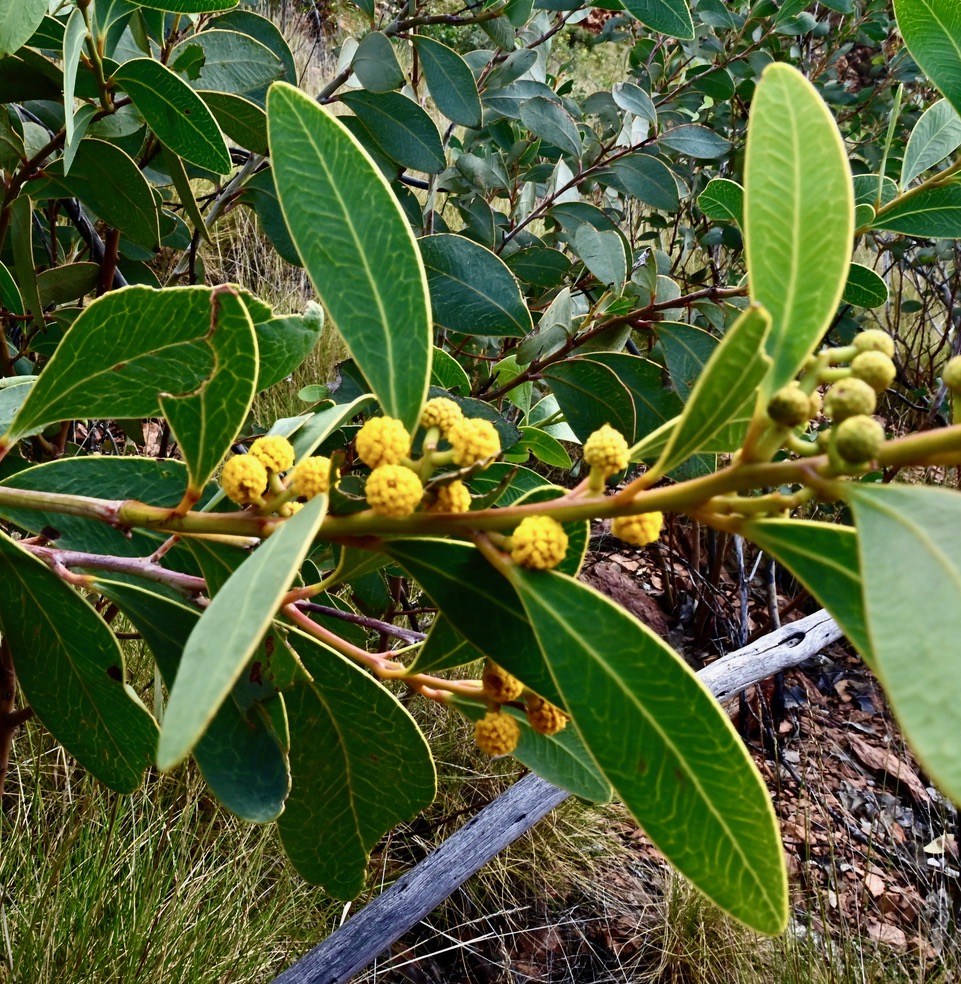
Acacia bivenosa. Photo Harry Loots
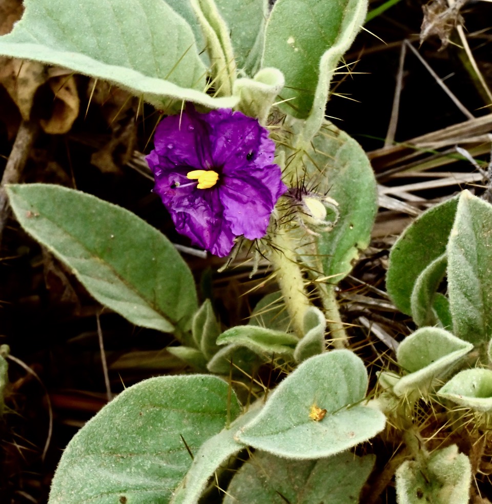
Solanum lasiophyllum. Photo Harry Loots
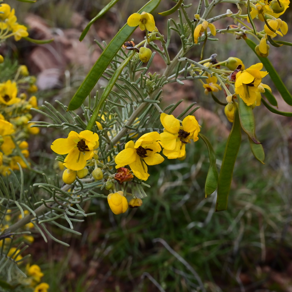
Senna glutinosa. Photo Harry Loots
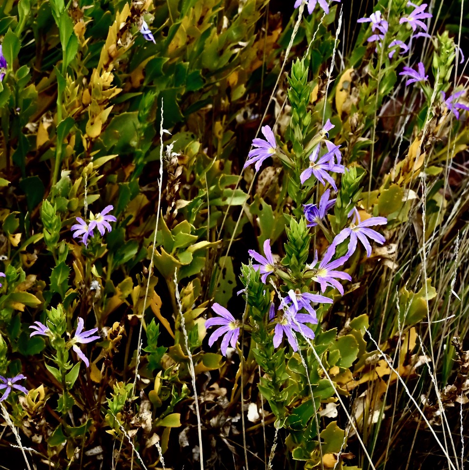
Scaevola glabrata. Photo Harry Loots
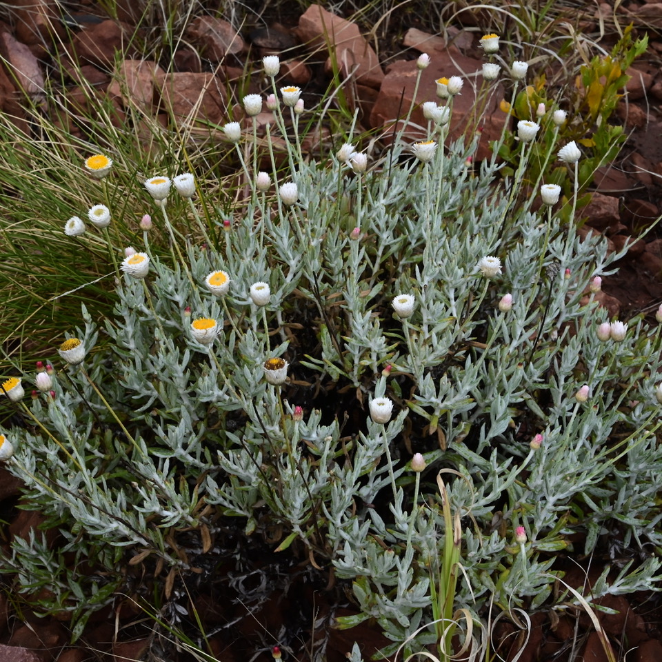
Anemocarpa saxatile. Photo Harry Loots
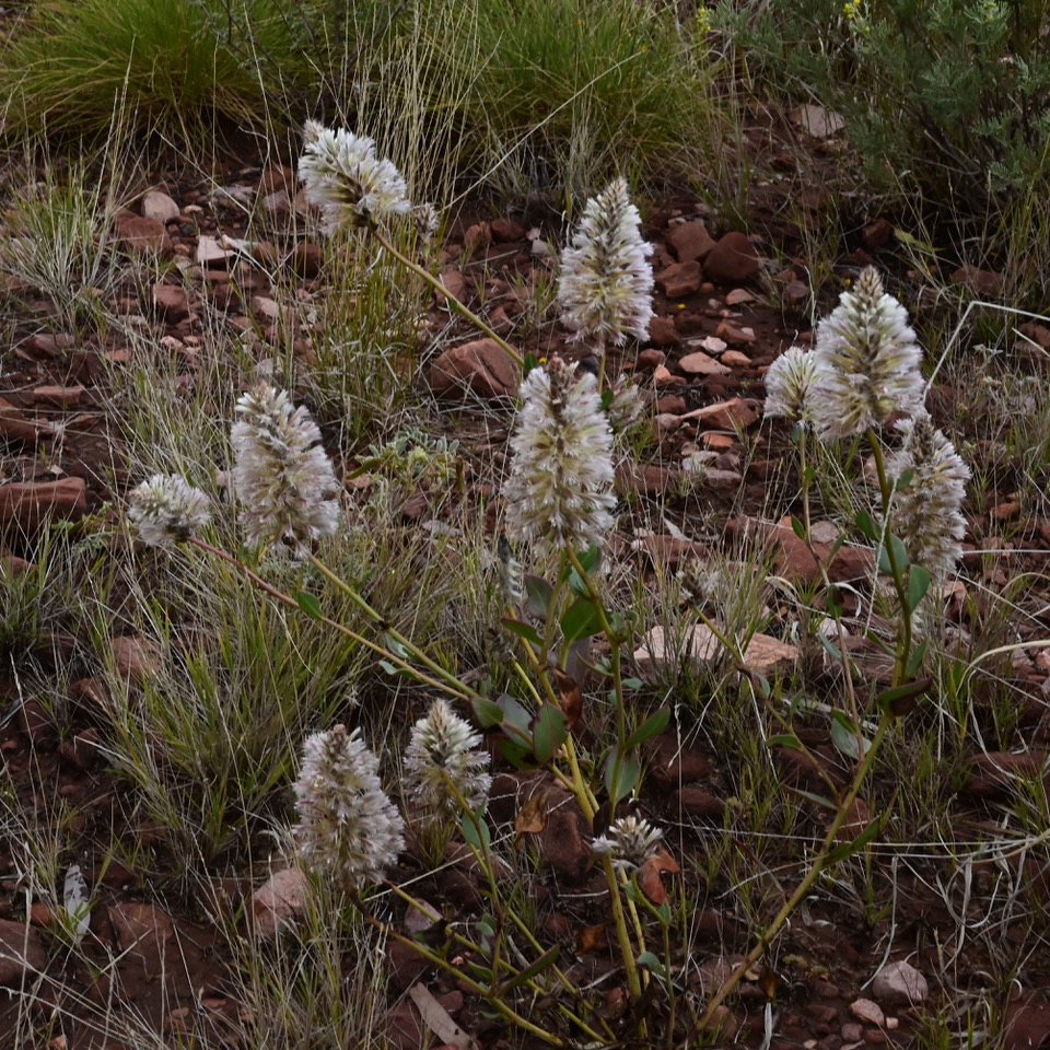
Tassel top Ptilotus clementii. Photo Harry Loots
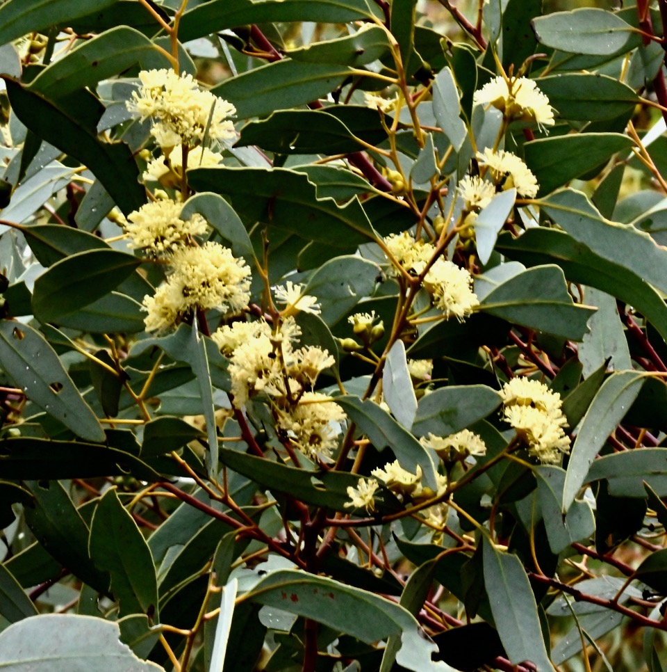
Eucalyptus socialis. Photo Harry Loots
Acacia strongylophylla. Photo Harry Loots
Holly grevillea Grevillea wickhamii. Photo Harry Loots